Demopolis to Acworth!
Sorry for the VERY long time in between postings! It seems
that we always have something else to do or we have such poor internet service
that posting to the blog somehow gets postponed or simply put on the back
burner till later. I was ready to post a couple of times, but adding the
pictures takes up a LOT of bandwidth, and when you are not on a fast internet
connection, it can literally take a couple of hours to upload a few photos. I
know it sounds like an excuse, and to some degree it is, but I still had the
best of intentions for regular postings. This posting catches us up to the
point where we planned to take a break for Thanksgiving.
 |
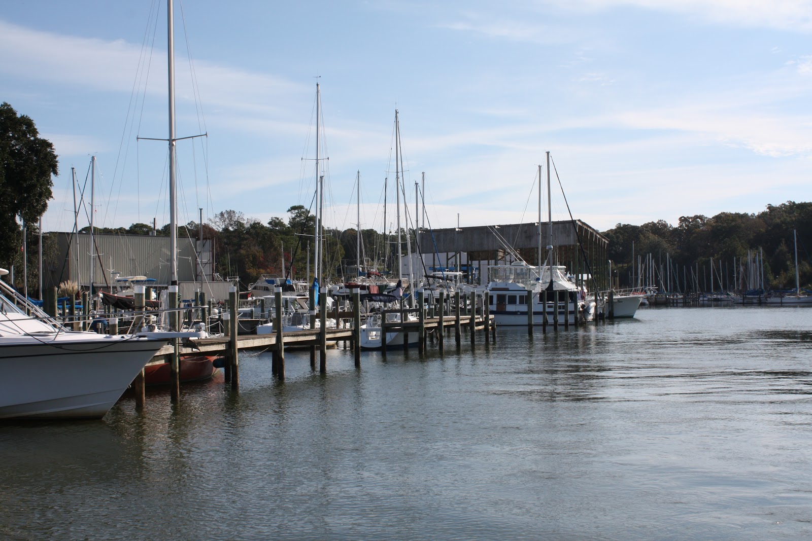
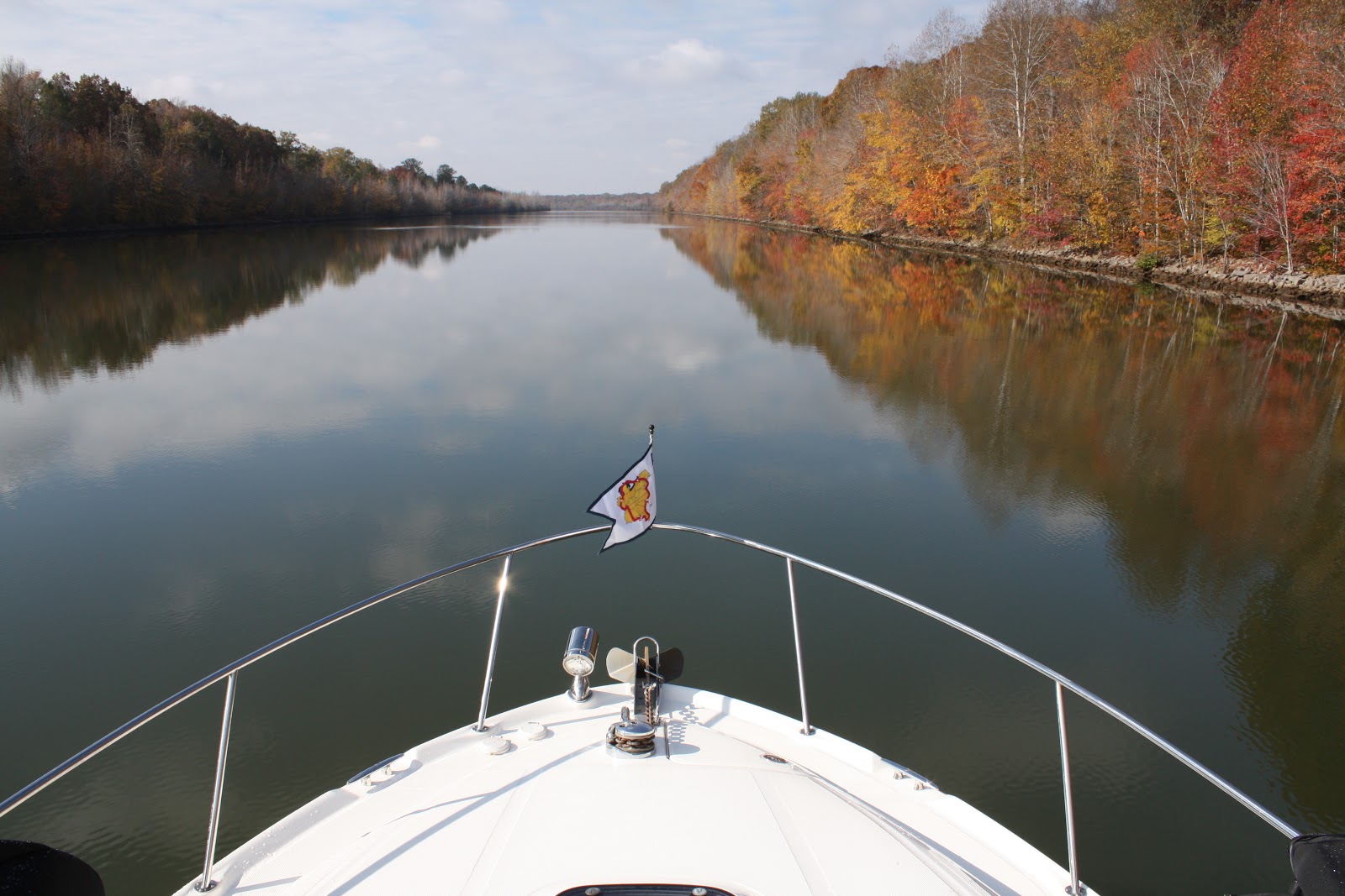
| Natural River - no canal cuts |
On Wednesday, November 14, we left Demopolis at 6:30 am
since we had a long day ahead of us. The plan was to spend the night at
anchorage in Bashi Creek, 71 miles downstream. We had read that it was a small
and tight anchorage, but well off the river and a safe place to spend the
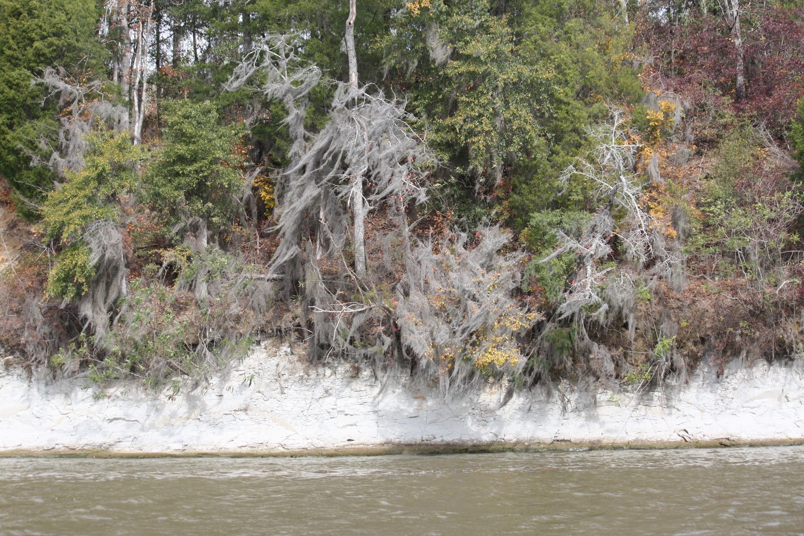
night. The day was routine with not much to see, but as the guides say “just
enjoy the abundant display of nature”. That is code for boring.
 |
| Remains of the "Rooster Bridge" |
One site along
the way is the old “Rooster Bridge” remains. This bridge was made famous in a
video on the internet. Do a Google search for “Cahaba” and “Rooster Bridge”.
You will see several different still photos from that famous video.
Unfortunately, I was not able to secure a URL for the website that has the
video, so still shots will have to suffice. They depict the tug “Cahaba” that
lost its load of barges during a flood, and when they tried to chase the
barges, they were unable to stop before the current capsized the boat as it was
swept under the bridge. It came out the other side still running, so the pilot
continued as if nothing had happened. Really fascinating and it is true!
 |
| "Deluxe" Dock at Bobby's |
 |
| Clockwise -M/T Pockets, Assisted Living, Jolly Tolly, Waci 3 |
We arrived at Bobby’s about 4 PM and met up with the three other boats that
left Demopolis that morning with us. We all docked simultaneously on the 100
foot face dock (directly exposed to the river) and then went to dinner at
Bobby’s at 5:30. Bobby’s is famous for catfish. Everything is fried – nothing
grilled, and it was really some of the best catfish I have ever had. We spent
an uneventful night on the dock.
 |
| A great place to eat! |
 |
| Bobby's Fish Camp |
 |
| Waiting for the fog to lift at Bobby's |
We were ready to go Thursday morning at 6:30, but were delayed
due to fog. We departed about an hour later and quickly transited the
Coffeeville Lock at mile 116 which is the final lock on the waterway.
 |
| Jolly Tolly in theTensas River anchorage |
It’s hard
to believe that we were in tidal waters this far from Mobile Bay. Thursday’s
run downstream was 80 miles to the anchorage in the Tensas River.
 |
| Assisted Living in the Tensas River anchorage |
This day had more
commercial barge traffic than we have experienced up to this point. There are
fewer stretches of wilderness and more industry including paper mills and power
plants.
 |
| Tombigbee - Alabama Rivers Junction - now the Mobile River |
We have now finished the Black Warrior – Tombigbee Waterway
after passing the junction with the Alabama River. The waterway is now called
the Mobile River the remainder of the 39 miles to Mobile Bay.
 |
| Jolly Tolly & Assisted Living in the fog |
On Friday morning, November 16, we were ready to go at 6:00,
but the dense fog again kept us from weighing anchor until about 8:00. Even then, we
still had fog and visibility less than ¼ mile. For the first time on the trip, I
had the opportunity to actually use the radar image superimposed over the
Chartplotter. I closely monitored the radar and Chartplotter for the next hour
or so while the fog slowly lifted. Once it lifted, we had beautiful weather for
the remainder of Friday’s journey.
Our destination for the day was Eastern Shore Marina in
Fairhope AL which is about 55 miles from the anchorage in the Tensas River. This
lower section of the river has the most commercial traffic we have experienced
up to now. The true value of AIS (Automatic Identification System) was vividly
illustrated to us when we encountered not one, but TWO tows side by side
entering a bend in the river at the same time we were preparing to enter the
same bend around a blind corner.
 |
| TWO tows coming around the bend side by side!!! |
First, I saw the bow of one of them and a few
seconds later, the second appeared. I came to a dead stop and moved over to the
bank as closely as possible to allow them to pass. One of the towboat captains
made a comment over the radio that they rarely see pleasure craft do the right
thing and patiently wait for them to pass safely. I’m not so sure about the
wisdom of two tugs pushing barges entering a blind curve at the same time, but
I assume this was not their first time doing it. I also found out earlier in
the day one of the primary reasons the floating Aids To Navigation (buoys) are occasionally
not in their charted positions. I actually witnessed a tow driving DIRECTLY
over a red buoy and it popped up directly behind in his prop wash. It was
probably necessary due to the bends of the river and his need to stay in the
channel. I am certain he knew exactly how deep it was where he ran over it.
 |
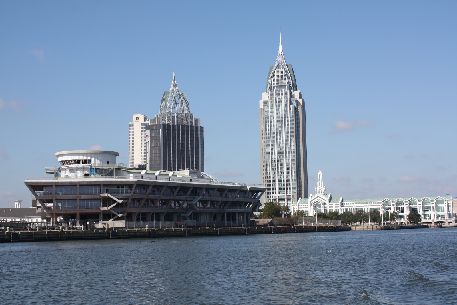
| Downtown Mobile AL |
There was much to see as we entered civilization once again. The river north of Mobile is very active with commercial ports, shipbuilding and repair facilities.
 |
| LCS (Littoral Combat Ship) under construction - a strange looking "Star Wars" trimiran (3 hull design) |
 |
| Mile zero of the Waterway |
The "official" end of the waterway is at mile zero in front of the Convention Center, but there is nothing there to mark the spot. After leaving the river, a short trip down the ship channel to red marker 72 is required before turning east to go across the bay.
 |
| Crab Boat on Mobile Bay |
Most of Mobile Bay is 10-12 feet deep and lots of places it is 5 feet or less. In places, it is stil only 3 feet deep a couple of miles from shore. You must carefully plot and follow a course to safely transit the bay. Our distance across the bay was about 15 miles. My depth alarm went off so many times as we approached the channel for Eastern Shore Marina, I finally just shut it off and slowly proceeded in case we hit the bottom. We never did, but since we came in at low tide, we stirred up a little sand. We finally reached Eastern Shore Marina about 2:00 and went
directly to the fuel dock for a fill up and pump out.
 |
| Fixed Docks present a challenge to getting on and off the boat - notice the narrow walkway on the port side! |
We had been enticed to
stop here because of their offer for a free night’s dockage for Loopers and
another free night by purchasing 100 gallons of fuel. In addition, the town is rated
very highly and we agree. Fairhope is definitely worth visiting.
 |
| Sunset at Eastern Shore Marina |
My Raymarine AIS box (Automatic Identification System) with the new software update was
waiting for us on the gas dock when we arrived. You may recall that it did not
work properly since the initial installation in Chattanooga. Due to my
inability to contact Customer Service at Raymarine to help troubleshoot the
problem until several days after leaving Chattanooga, we were delayed in
returning it to their repair service until we reached Florence AL. We had hoped
it would catch up to us in Demopolis, but it finally arrived in Fairhope AL. Once
re-installed, it worked perfectly. It must have been the software upgrade that
fixed it! This would have been a very valuable tool to have available on the
rivers, but it will still be useful going forward on our trip.
 |
| Fairhope Pier |
On Saturday, November 17 we rented a car on a weekend
special from Enterprise Car Rentals and decided to go scout a good location to
leave the boat while we take a break over the holidays.
 |
| Net fishing from the Pier |
 |
| Waiting for a handout on the Pier |
 |
| Downtown Mobile across the Bay |
 |
| Fountain and Rose Gardens at the Pier |
We visited Homeport
Marina in Gulf Shores (home of Lu Lu’s Restaurant– Jimmy Buffett’s sister),
Orange Beach Marina, and finally, the winner – the Wharf Marina in Orange Beach
AL. After sampling some of the local restaurants in Gulf Shores, Orange Beach,
and Fairhope, we decided to be tourists on Sunday. Unfortunately, the sidewalks
roll up on Sunday in Fairhope, but they did have a special Christmas festival that
day and some of the shops were open.
 |
| Leaving Eastern Shore Marina |
On Monday November 19, we decided to go to breakfast at
Panini Pete’s, a local favorite for Panini and beignets. After we returned the
rental car to Enterprise, we finished crossing Mobile Bay to enter the Gulf
Intercoastal Waterway and traveled to the Wharf Marina.
 |
| Lu Lu's Restaurant on the ICW in Gulf Shores AL |
After we tied up, Beverly
Morgan, the marina director, took us in her personal car to pick up a U-Haul
truck. When we researched one-way
rentals back to Acworth, we found out that all rental car companies require you
to pick up and return ONLY at airport locations – definitely a disadvantage and
substantially out of the way for us. One of our Looper friends had rented a
U-Haul truck one way and found it not only convenient, but far cheaper than a
car.
 |
| Preparing to leave the boat at The Wharf Marina in Orange Beach AL |
Tuesday morning, November 20, we topped off the gas in the
boat, pumped out the holding tank, and began loading up the U-Haul. By the time
we had everything secured, cleaned up, and the truck fully loaded, it was 2 pm.
 |
| Christmas Tree and Fish at The Wharf |
 |
| Waci 3 in its temporary home at The Wharf Maina |
After a quick lunch at the Marina complex, we finally got on the road for the 6
½ hour drive home. It was an uneventful ride home in a surprisingly good truck
(10 foot cube van). We will definitely consider this option for our next one
way rental.
 |
| Good Bye for the Holidays - See you in January! |
Wednesday, November 21 had us busy washing clothes, opening
mail, grocery shopping for Thanksgiving, and Nan Ellen took her mother to get
her hair done. Thanksgiving Day was also very busy with raking leaves and
cutting grass at the top of our priority list before I cooked the turkey in the afternoon.
Unfortunately, this year, we were not able to continue our tradition of
bringing shut-ins to our house or visiting them in nursing homes as in previous
years. Although it was just the three of us; Nan Ellen, her mother, and me; we
had a great Thanksgiving.
We learned a great deal about what to pack and what to leave
home. We brought far too many clothes and a few other items. There are washers
and dryers at just about every marina so doing laundry every few days is the
rule, not the exception. Fresh foods are not a problem as almost every marina
has a loaner car for transient boaters to use. Just about every small town has a
Wal Mart, hardware store, and fresh groceries. Some of our favorite brands of
dried goods (peanuts, beef jerky, crackers, etc.) must be stockpiled on board,
but just about everything else can be found locally in stores. Even beer and
wine can be purchased as long as you are not in a dry county. We transited many
of those on the river, but don’t expect that to be a problem for the next legs
of our trip.
It is hard to believe we are now taking a break, but the
calendar says it is time to temporarily stop. We were just getting into a
groove, and expect we can resume right where we left off next year. It is likely we will not resume the loop until
the end of January. We have a very full agenda for December and January with
personal business, doctor appointments, family visits, and Coast Guard
Auxiliary business.
My next postings will likely be about lessons learned and
previews of what the waterway ahead looks like for us. The biggest upcoming
challenge will be the open water crossing of the Gulf of Mexico. We will have
several options of ports, and the decision of which one to use will be driven
primarily by weather. Stay tuned for more updates to come over the next couple
of months.


